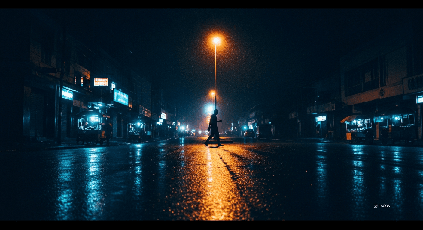
Lagos doesn't sleep. That's part of its magic and part of its danger. When the sun drops below the horizon, the city transforms — and so does its risk profile.
We analyzed every incident reported on Chipon between 8 PM and 6 AM over the past 120 days. The findings are striking, but not hopeless. Nighttime safety isn't about avoiding the dark — it's about understanding it.
The Numbers Don't Lie
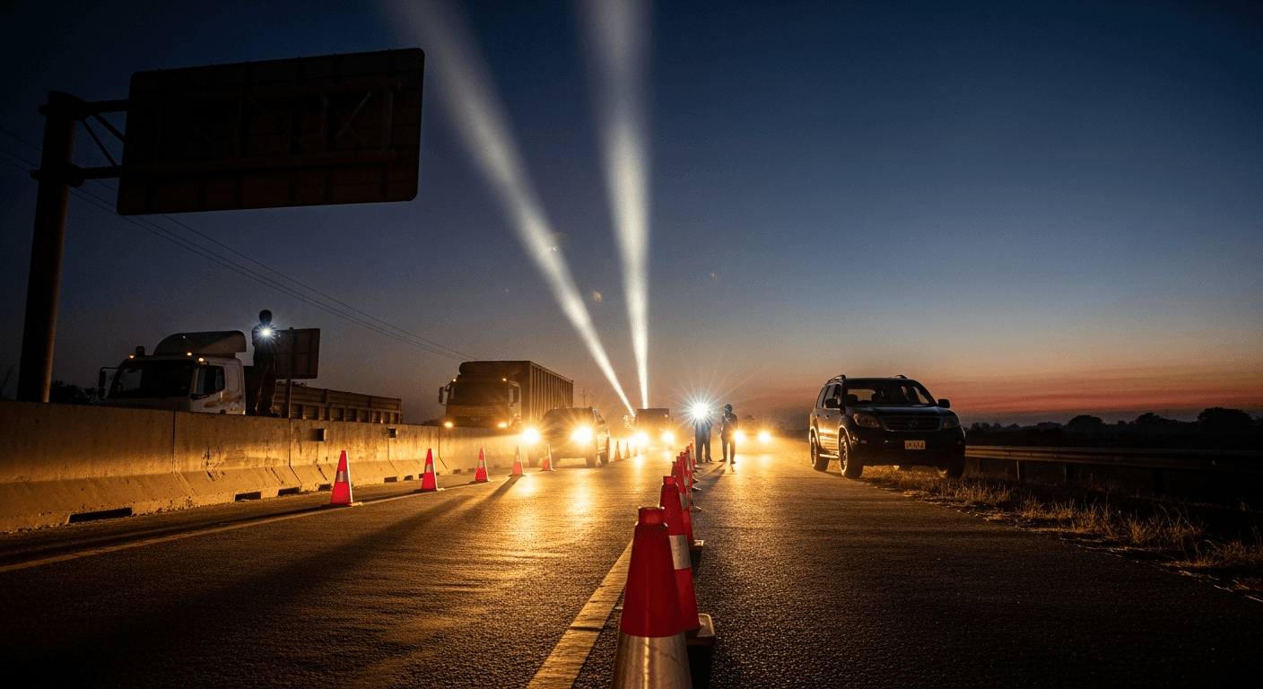
Between 10 PM and 4 AM, Chipon sees a dramatic increase in incident reports compared to daytime averages. International research consistently shows nighttime crime rates are several times higher than daytime rates, and Lagos — with its lighting deficits — follows this pattern acutely. But the spike isn't uniform:
- 10 PM – 12 AM: Armed robbery reports peak. This is the transition window when streets empty but activity hasn't fully stopped.
- 12 AM – 2 AM: Road accidents surge. Fatigued drivers, poorly lit intersections, and reduced traffic (which paradoxically encourages speeding) combine dangerously.
- 2 AM – 4 AM: The quietest window — but also when the most severe incidents occur. Lower frequency, higher severity.
- 4 AM – 6 AM: Risk drops sharply as early commuters and vendors begin their day.
The Geography of Night Risk
Not all of Lagos carries equal nighttime risk. Our heatmap data reveals three distinct patterns:
High-Risk Corridors
Major expressways and arterial roads — particularly stretches of the Lagos-Ibadan Expressway, Apapa-Oshodi, and Ikorodu Road — show the highest nighttime incident density. These long, poorly lit stretches with few witnesses are the textbook environment for roadside crime.
Relative Safe Zones
Gated estates and neighborhoods with active security (Lekki Phase 1, parts of GRA Ikeja, Banana Island) maintain their daytime safety profiles well into the night. The key difference? Controlled access and lighting.
The Transitional Danger
The riskiest pattern we've identified: transitioning between a safe zone and an unsafe zone after dark. Leaving a well-lit restaurant in Victoria Island at 11 PM feels safe — until you're on a dark stretch of Ozumba Mbadiwe heading to your car.
Practical Night Safety Protocol
Based on our data, here's a framework that works:
- Check Chipon's live map before any nighttime movement. A 30-second check can reveal active incidents on your route.
- Stick to primary roads with consistent lighting. Side streets save time but cost visibility.
- Travel in the 4-6 AM window if you must move at odd hours. It's statistically the safest pre-dawn period.
- Enable Chipon's critical alert override — this ensures high-severity notifications reach you even during quiet hours.
- Share your route with someone who can check on you. This isn't paranoia — it's protocol.
A Note on Perception vs. Reality
One of the most interesting findings: neighborhoods that feel dangerous at night aren't always the ones with the highest incident rates. Surulere, for example, has a moderate nighttime risk profile but is perceived as highly dangerous after dark. Meanwhile, certain parts of Festac have higher actual incident rates but lower perceived risk.
This is why data matters. Perception is shaped by anecdote. Safety decisions should be shaped by evidence.
Chipon's heatmap updates in real-time, day and night. The next time you're planning a late outing, open the app and let the data guide you — not just your instincts.