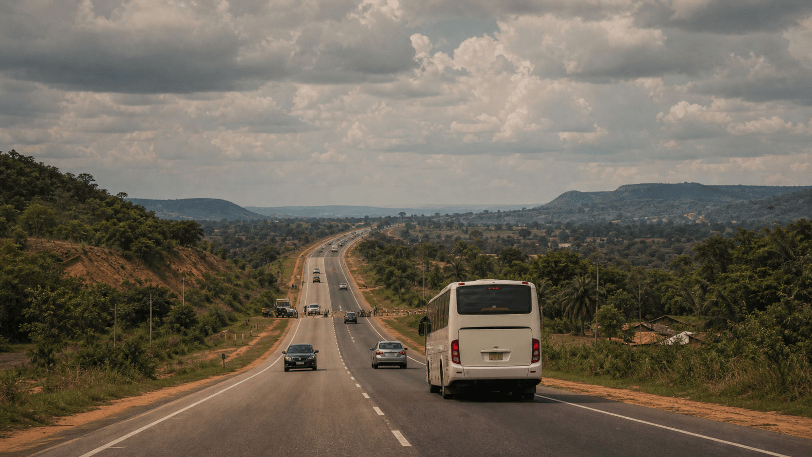
A road is rarely dangerous every hour of every day. Risk in Nigeria moves with time, traffic, weather, security operations, local events, and the speed at which information reaches travellers. That is why a static list of "dangerous roads" is never enough. The smarter question is: what has changed on this route today?
Chipon tracks community reports, verified news signals, official-style source data, and live map patterns so travellers can compare roads before committing to a journey. Use this guide as a starting point, then check the live incident database and route safety planner before you leave.
Road corridors to check carefully
Abuja-Kaduna: This corridor has become a shorthand for highway risk because kidnapping reports, bandit activity, and intermittent security pressure can change traveller confidence quickly. Do not rely on old assumptions. Check the latest reports, departure time, and whether incidents are clustering near the route.
Lagos-Ibadan: This is one of Nigeria's busiest highways. The main risk is not always violent crime. Accidents, gridlock, breakdown exposure, protests, flooding, and late-night vulnerability can all matter. A route that is reasonable at 10 a.m. may feel very different after dark.
Lokoja-Abuja and Kogi crossings: North-south movement often passes through long stretches where help may be far away. Travellers should watch for recent abduction reports, road closures, crashes, and weather conditions.
Benue, Plateau, Kaduna, Niger, Zamfara, Katsina, and parts of the North East: These are not single-road warnings. They are reminder zones where local context matters. Town outskirts, rural junctions, market days, and night travel can change exposure.
How to read a route like a safety analyst
- Age of reports: a critical report from two hours ago deserves more attention than a stale report from last month.
- Cluster density: one isolated report may be noise; several reports along the same corridor suggest a pattern.
- Severity mix: accidents and flooding affect movement, while kidnapping and armed robbery affect personal security.
- Time of day: early daylight movement usually gives more options than night travel on unfamiliar roads.
- Escape options: a road with nearby towns, fuel stations, and traffic is different from a long isolated stretch.
Before you travel
Open the Chipon route planner, compare route safety, then search the incident database for the states and towns on your journey. If recent high-severity reports appear near your route, delay, reroute, travel in daylight, or reconsider the trip.
Bottom line: the most dangerous road is not always the one with the worst reputation. It is the one where you are moving with outdated information.