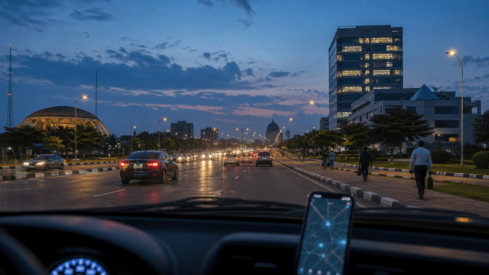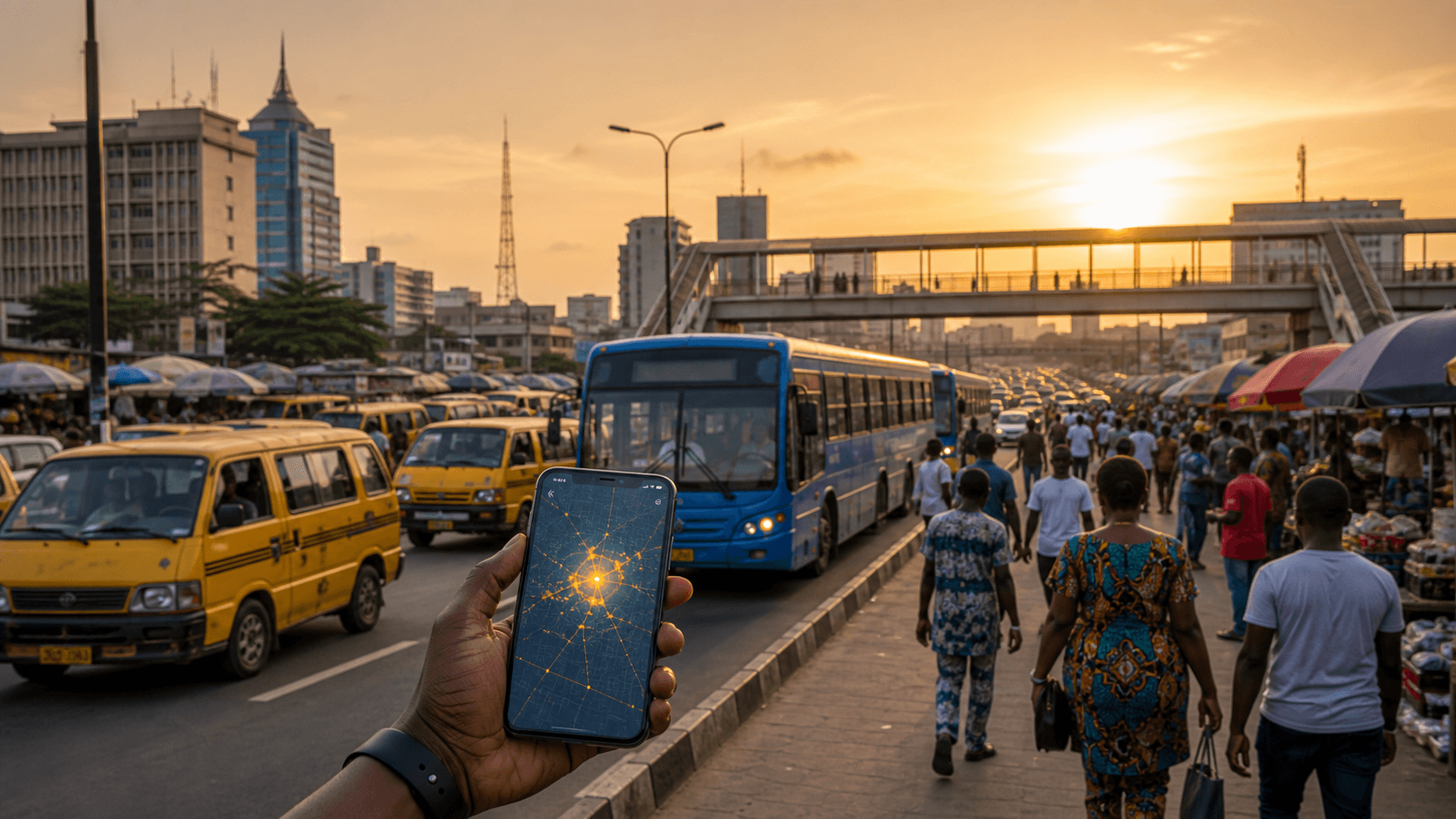
Abuja can feel calm, wide, and orderly. That is part of its appeal. But safety decisions in the capital still need context: where you are going, whether you are staying inside central districts, whether you are crossing outskirts, and what has happened recently.
This guide gives a practical way to think about Abuja in 2026 using live reports from Chipon, not rumours or stale warnings.
Central Abuja is different from road-edge Abuja
Movement around central business districts, offices, hotels, and established residential areas can be very different from movement near long exit roads, sparsely populated edges, or intercity corridors. The same city can have a calm core and a sensitive perimeter.
What to check before you move
- Recent incidents near your destination: use the Abuja incident database.
- Route exposure: check whether your trip crosses isolated stretches or known delay points.
- Time of day: movement that feels routine at 2 p.m. may require more caution late at night.
- Event pressure: public events, protests, official convoys, and security operations can shift traffic quickly.
For visitors and new residents
Keep your first week simple. Use known routes, avoid experimenting late at night, confirm addresses before leaving, and check live reports before road trips outside the city. If you are arranging transport, choose operators who know the current route picture, not just the shortest path.
Use live alerts
Open the Chipon safety map before moving across districts. If there are fresh high-severity reports near your route, adjust the timing, choose a better-known path, or wait for conditions to settle.
Abuja safety is not a yes-or-no question. It is a timing and route question.