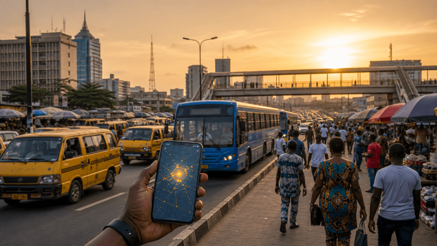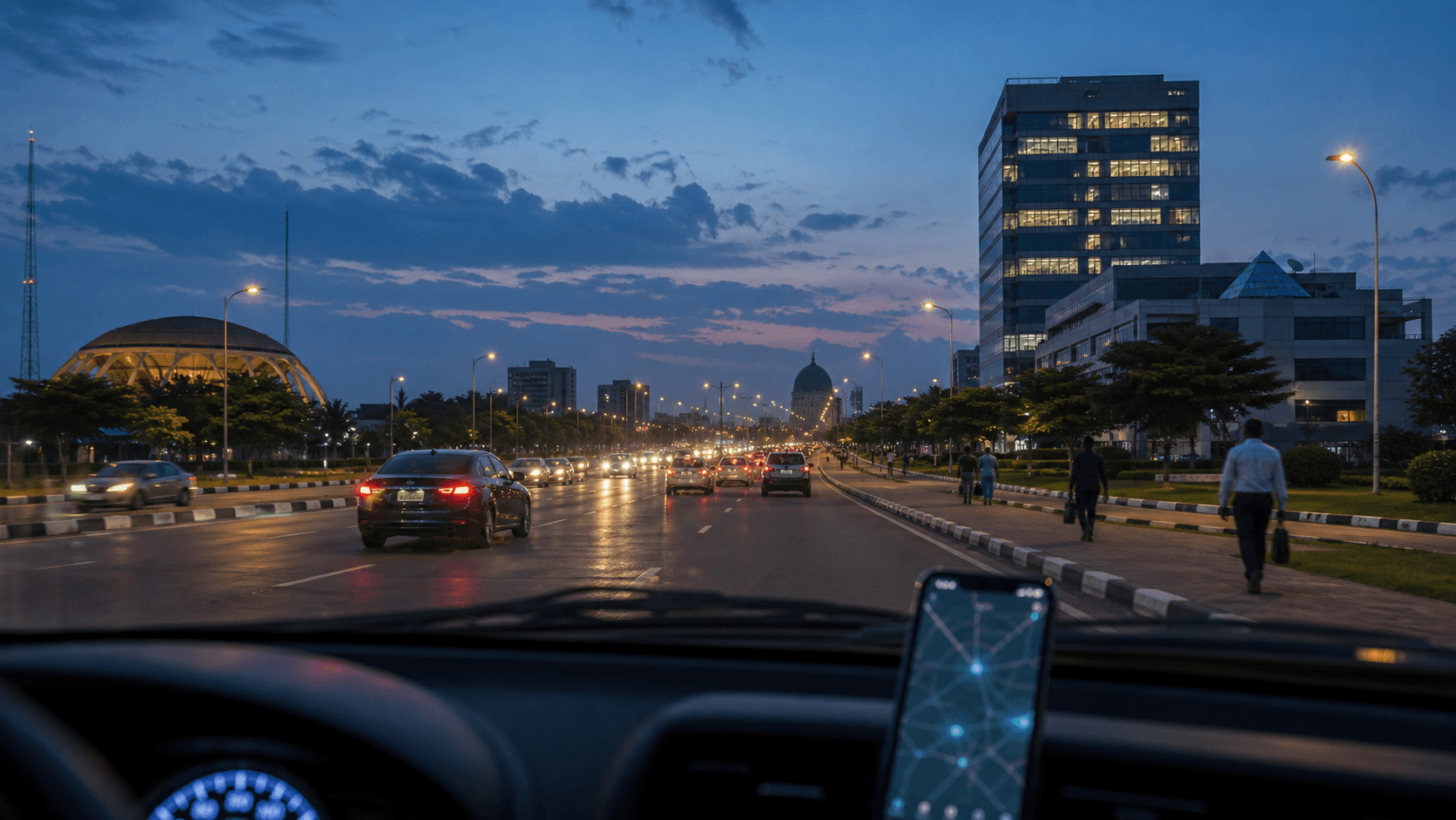
The phrase "kidnapping hotspot" can be useful, but it can also mislead. Risk is not painted evenly across a whole state. It often appears around routes, town edges, rural junctions, isolated stretches, recent attack clusters, and times when travellers have fewer options.
Chipon is built to make that risk more visible without turning safety into panic. The goal is simple: help people check before they move.
What makes a hotspot?
A hotspot is not just a place where something once happened. It is an area where recent incidents, repeated patterns, and movement exposure overlap. For kidnapping risk, the strongest signals are usually fresh reports, repeated route mentions, isolated terrain, and timing patterns.
How to check risk without fearmongering
- Search the state and town names in the Chipon incident database.
- Look for clusters rather than single old stories.
- Check the exact route, not only the destination.
- Compare incident age: a report from yesterday is different from one from last year.
- Ask what you can change: timing, route, stop pattern, convoy, delay, or cancellation.
Signals that deserve extra caution
- Multiple kidnapping or armed attack reports on the same corridor.
- Fresh reports near a planned stop or town outskirts.
- Travel that pushes into night because of late departure or traffic.
- Long isolated road sections with limited network coverage or help points.
Make the safer decision visible
Use Chipon Routes before travelling. If a route shows recent high-severity reports, do not debate it only from memory. Change the route, move in daylight, wait, or avoid the trip.
The best safety intelligence is not the most dramatic information. It is the information that arrives in time to change a decision.