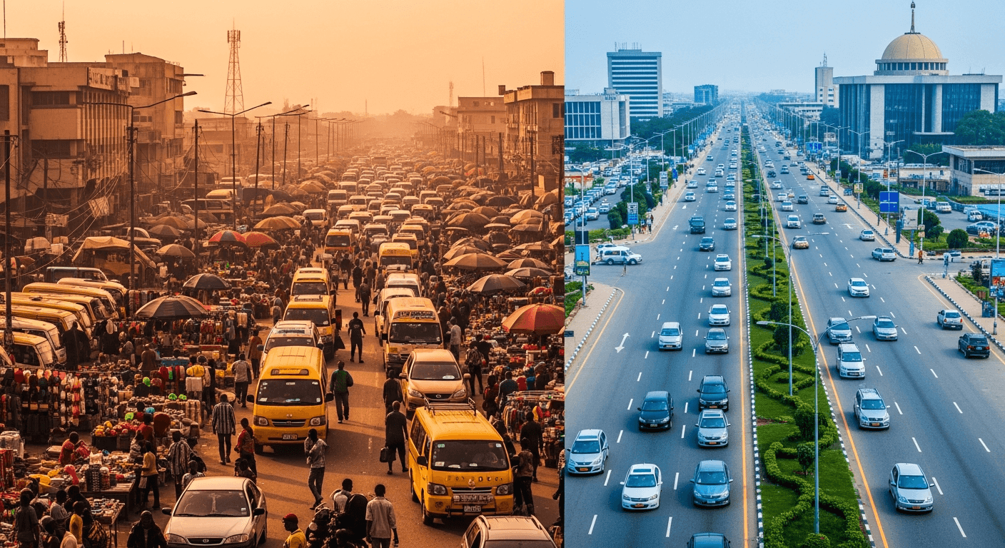
Every year, the conversation is the same: the rains come, Lagos floods, people suffer, the water recedes, and everyone forgets until next year. At Chipon, we decided to break this cycle with data.
We analyzed every flood-related incident report on our platform and cross-referenced it with historical rainfall data, drainage infrastructure maps, and community damage reports. The goal: predict which areas will flood first, worst, and longest in 2026.
The Historical Pattern
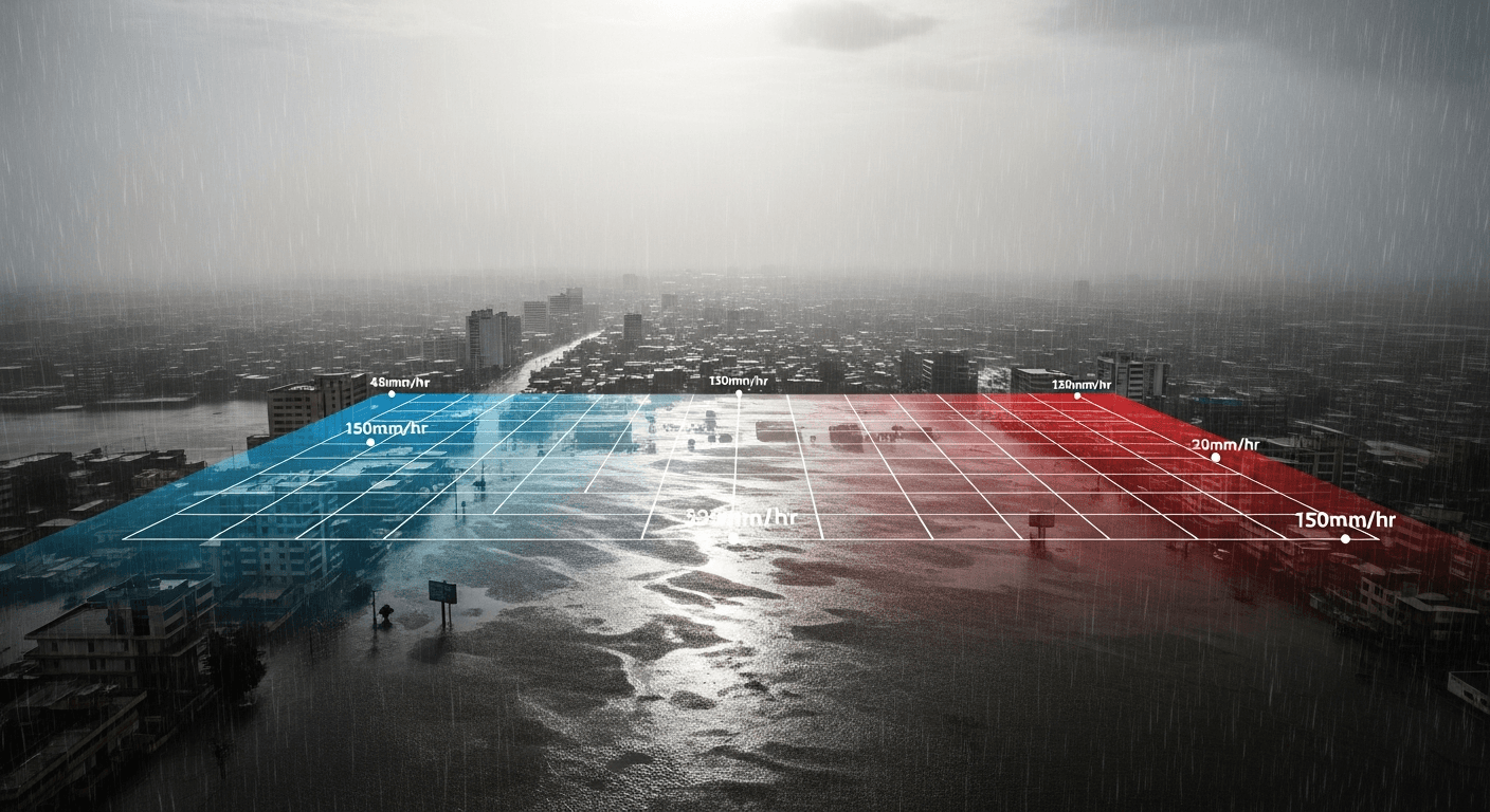
Lagos's rainy season runs from April through October, with peak flooding typically in June-July. But not all rain causes floods. Our data shows that flood incidents correlate strongly with 3-day cumulative rainfall rather than single-day peaks.
In other words, it's not the one heavy downpour that floods your street — it's three consecutive days of moderate rain that overwhelms drainage capacity.
The High-Risk Zones
Based on historical incident density and geographic factors, these areas face the highest flood risk:
Tier 1: Almost Certain to Flood
- Lekki-Ajah corridor — Low-lying, reclaimed land with inadequate drainage. The area saw 47 flood incidents in 2025.
- Surulere (especially Aguda/Masha) — The intersection of poor drainage and high population density.
- Ikorodu — Proximity to the lagoon and low elevation create chronic flood conditions.
Tier 2: High Probability
- Apapa/Ajegunle — Industrial area with blocked drainage channels.
- Victoria Island (low streets) — Several streets near the Bar Beach corridor flood consistently.
- Festac Town — Canal system originally designed for the area has deteriorated.
When to Expect the First Floods
Our predictive model suggests:
- Early warnings (April): Minor waterlogging in Tier 1 areas after heavy showers.
- First significant floods (May-June): After 3+ consecutive rain days, Tier 1 areas will experience road-impassable flooding.
- Peak flooding (July): Tier 1 and Tier 2 areas affected. Commute disruption at maximum.
- Lingering effects (August-September): Drainage systems overwhelmed, some areas remain waterlogged between rains.
How Chipon Helps During Flood Season
During last year's rainy season, flood-related reports on Chipon helped commuters avoid flooded routes in real-time. This year, we're adding:
- Flood-specific filters on the map — toggle to see only flooding incidents.
- Historical flood overlay — see which streets flooded last year (an indicator of this year's risk).
- Proactive alerts — when rainfall data suggests flood conditions are forming in your area.
What You Can Do Now
- Check your neighborhood's flood history on Chipon. If it flooded last year, it will flood again.
- Identify alternative routes that avoid Tier 1 flood zones. Program them into your routine before the rains start.
- Enable flood-category notifications in Chipon's settings.
- Report flooding immediately when you see it. Early reports help other commuters reroute before they're stuck.
Flooding isn't a surprise in Lagos — it's a pattern. And patterns can be anticipated. Chipon is building the intelligence layer that turns seasonal chaos into manageable inconvenience.